Features
Everything huntNotes does
Plan the ground, log the hunt, and learn from your own seasons. Each feature is marked Free or Premium.
Plan
Know the ground before you go
Property lines, terrain, and weather on the map you scout from.
 Free
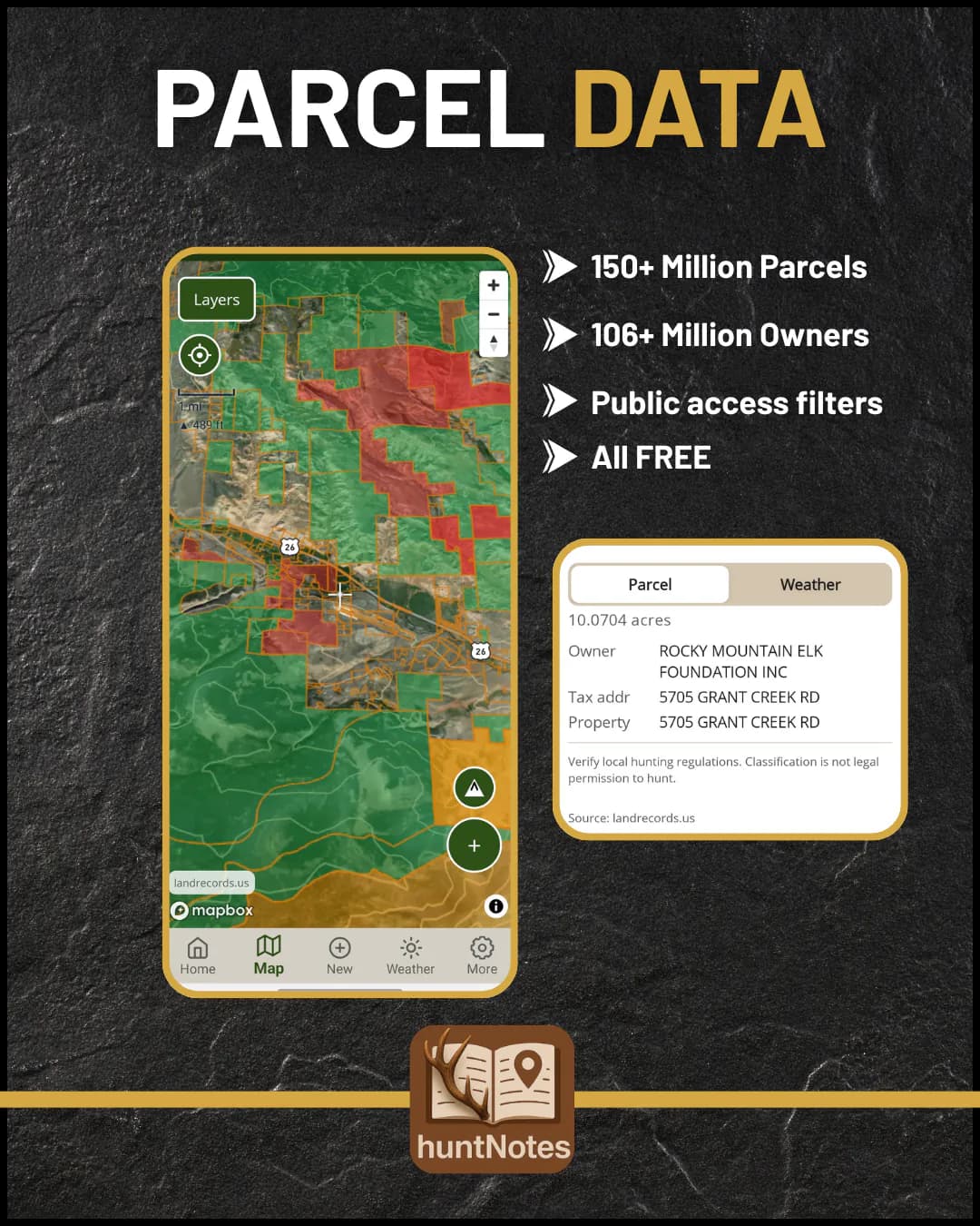
Know whose land you're on
Property lines with owner names and acreage, plus public-access overlays. Tap a parcel for its owner, address, and weather. Always verify local regulations.
 Premium
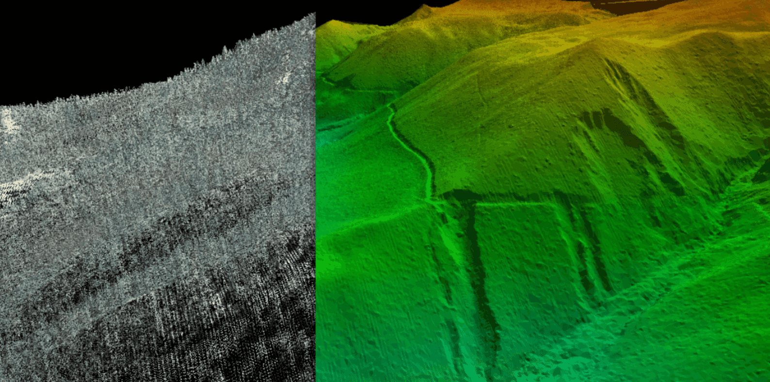
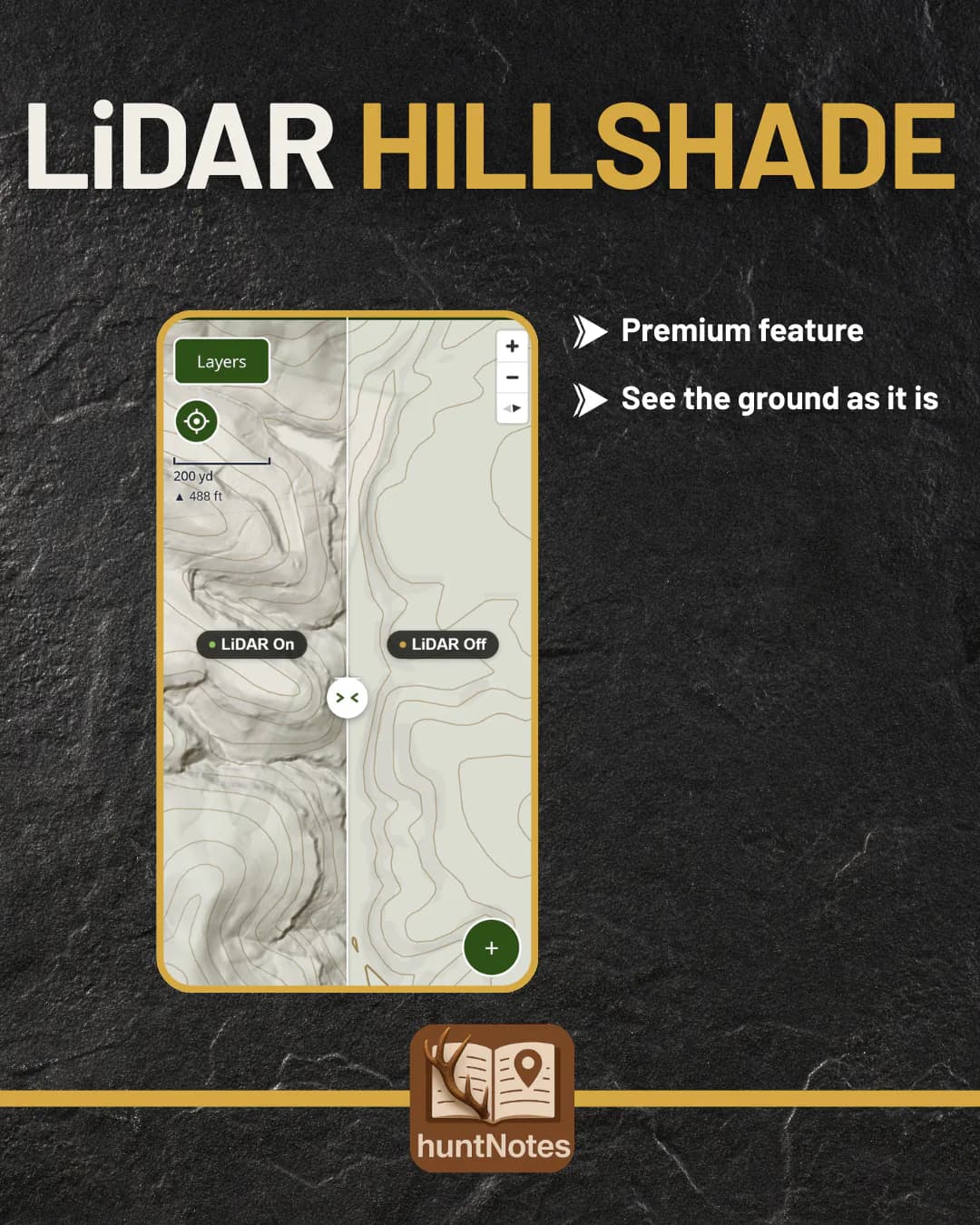
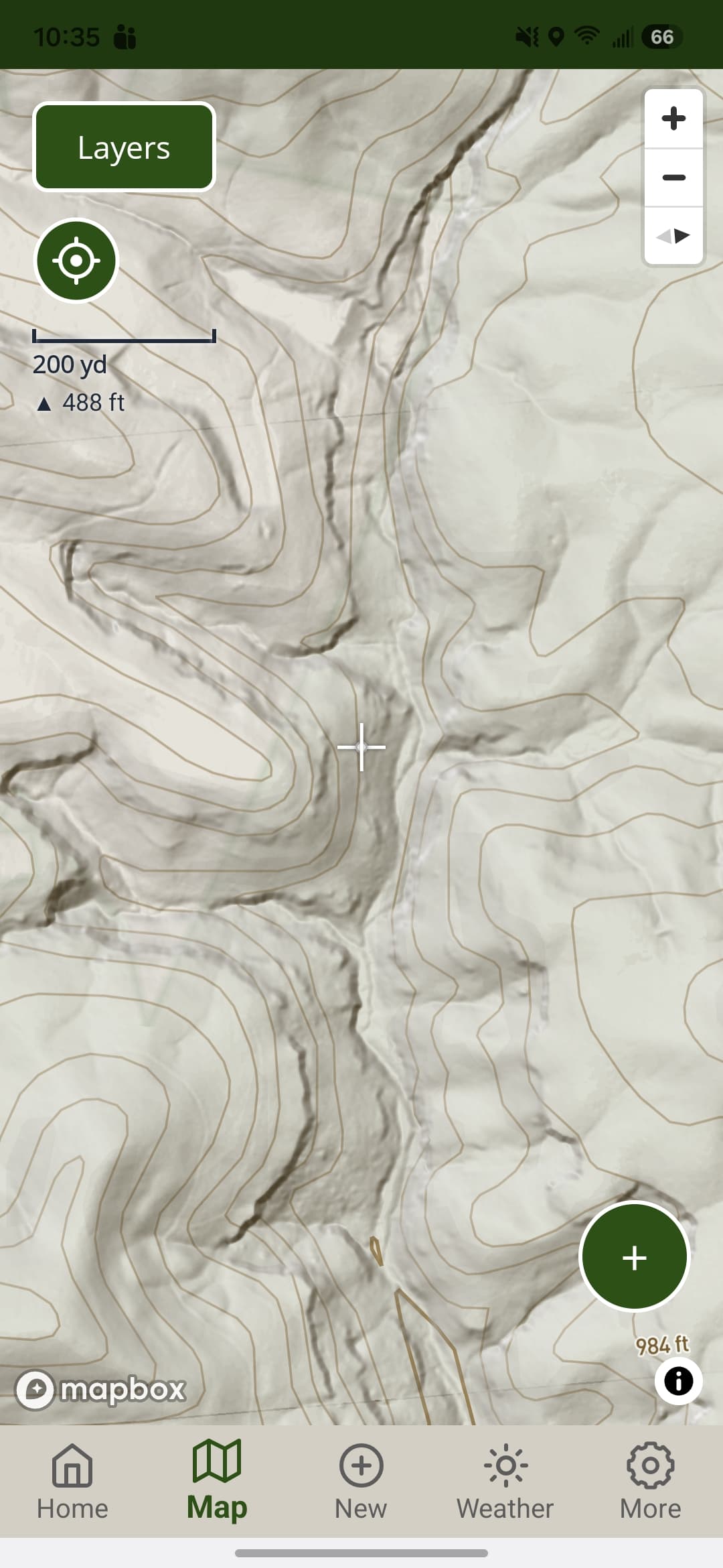
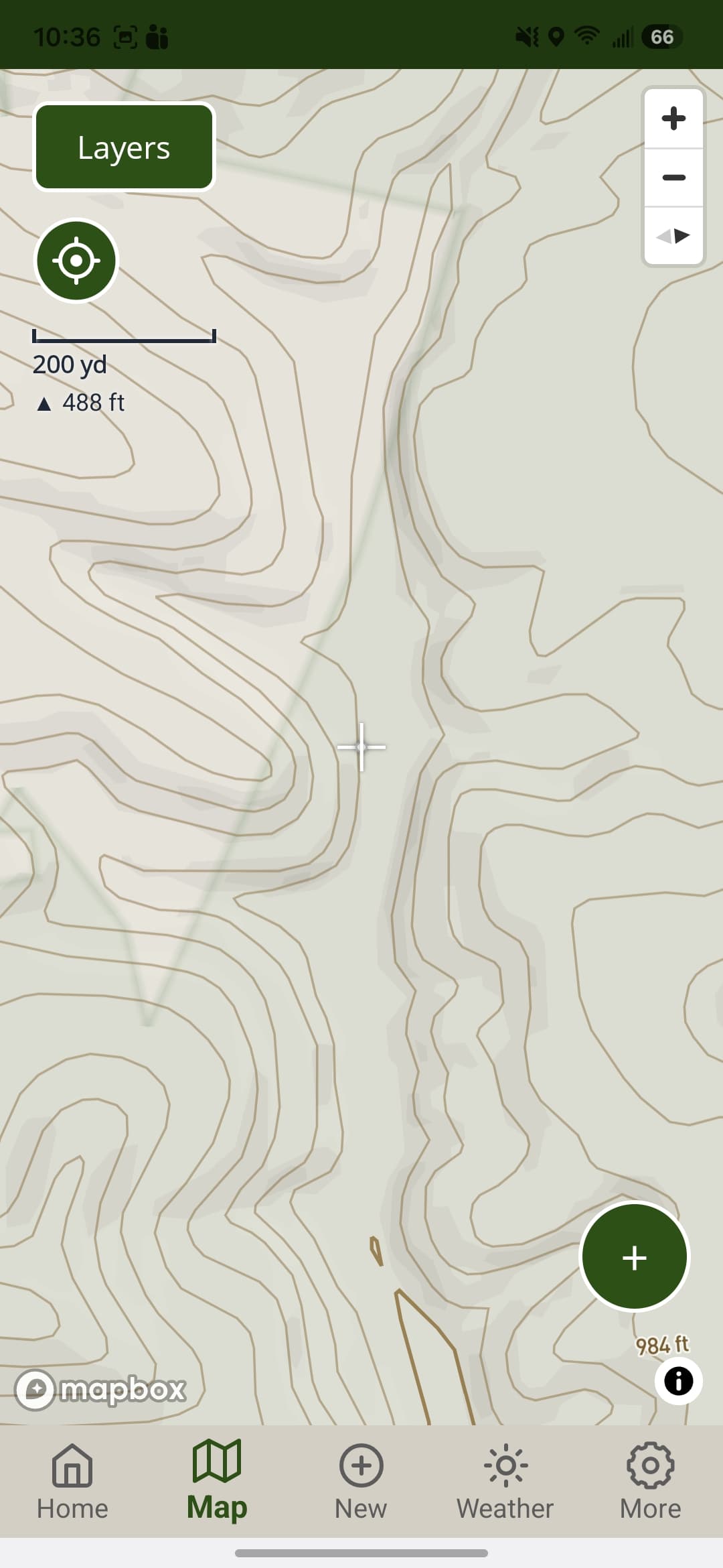
Read the terrain topo hides
High-resolution LiDAR relief from USGS 3DEP brings out benches, saddles, and drainages that standard topo smooths over.
Contour lines on any topo map are free.
 Free
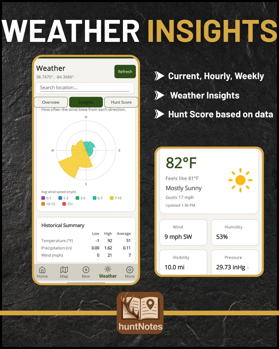
Plan around the wind
Current conditions, the moon, and an hourly Hunt Score built from real weather and time of year. Insights shows the prevailing wind at your spot.
Full forecasts and 1 to 6 months of Insights are Premium.
 Free
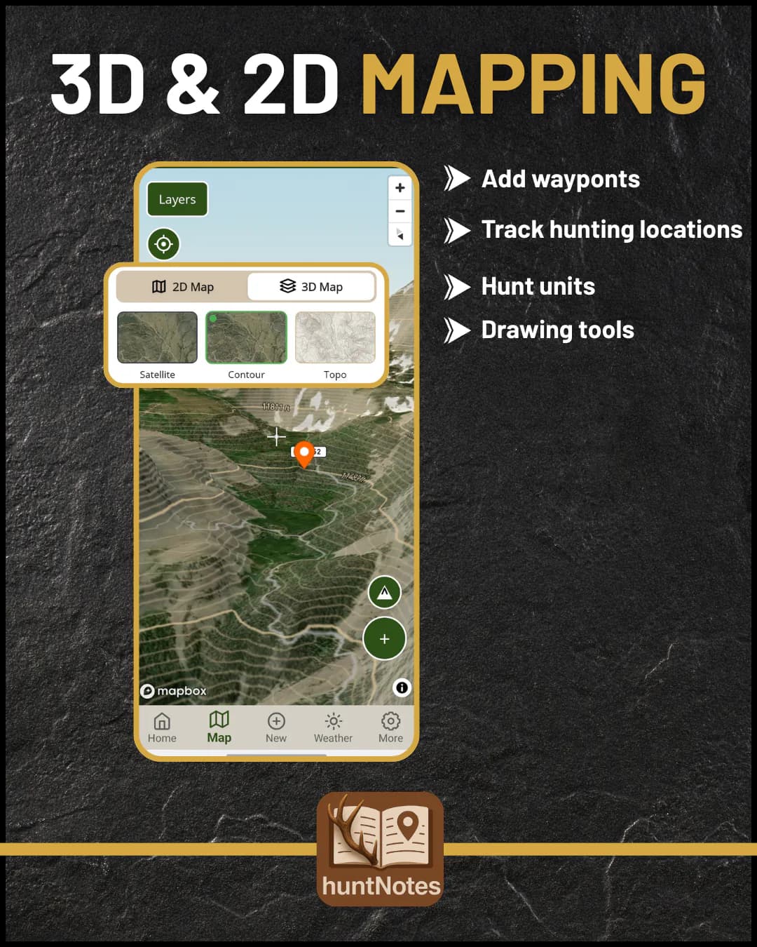
Every layer from one sheet
Switch topo and satellite, then toggle parcels, hunt units, contours, and active fire perimeters without digging through menus.
3D maps and historic burn scars are Premium.
 Free
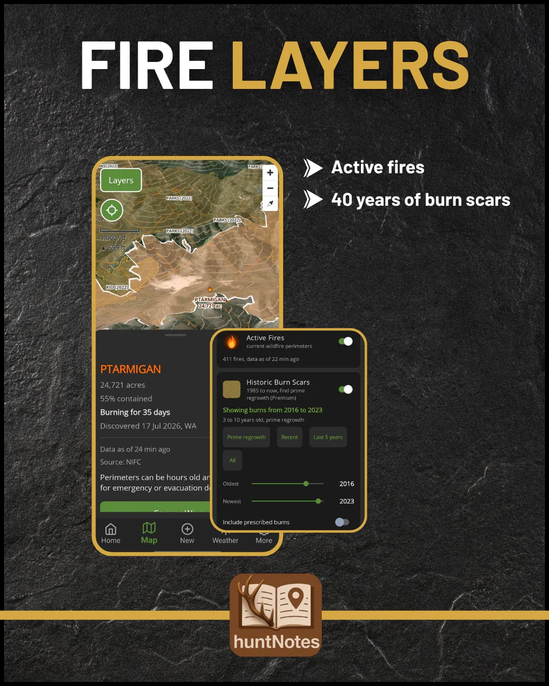
Know where it burned
See active fire perimeters before you drive out, and find old burns, where regrowth pulls in deer and elk years later.
Historic burn scars, 1985 to now, are Premium.
Drag to compare LiDAR on and off.
Hunt
Log it before you leave the stand
A journal that works with no signal and fills in the conditions for you.
 Free
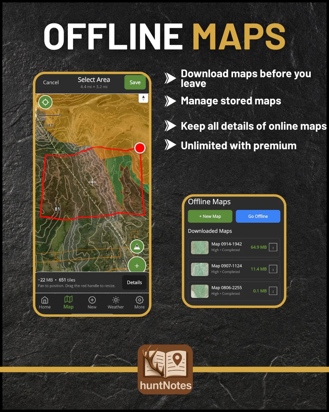
Save the map before you lose signal
Pick an area, choose a quality level, and download it at home. Your saved regions open in the woods with no service.
Free saves one region at Low or Medium. Premium saves unlimited, up to Very High.
 Free
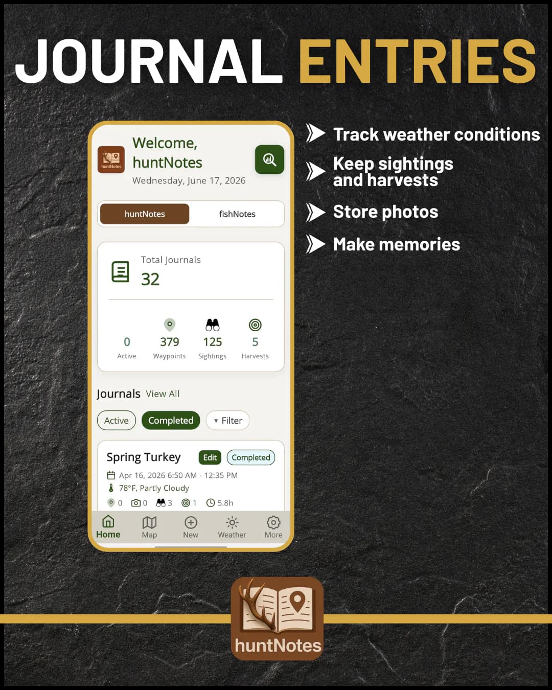
Every sit, logged in seconds
Hunt style, species, weapon, and notes, with wind, weather, and moon captured for you. QuickLog from the session notification without opening the app.
 Free
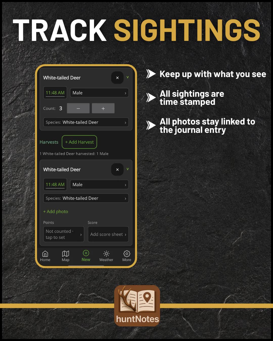
Track every animal you see
Timestamped sightings by sex and count, harvests kept separately, and field photos attached to the entry.
 Free
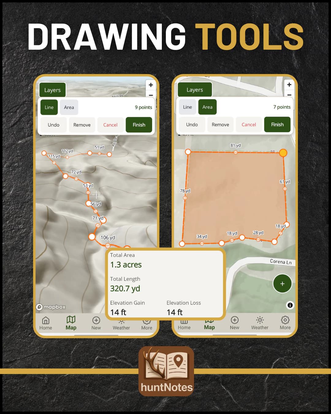
Measure it before you walk it
Draw lines and areas with live distance and acreage, then tap a line for its elevation profile. Label and color every shape.
 Free
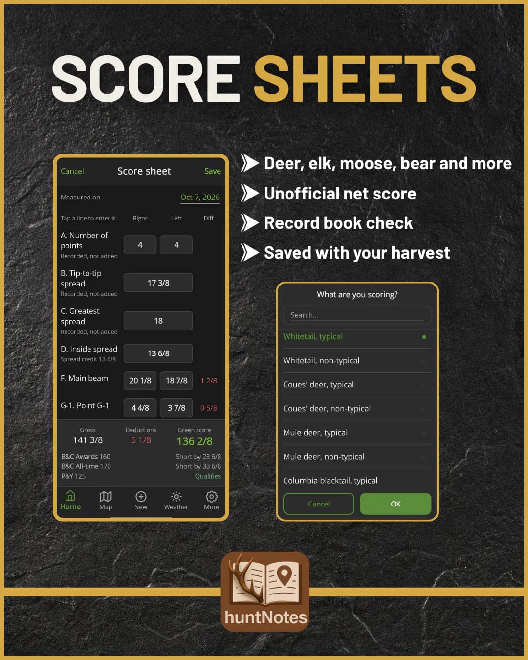
Score it before the drive home
Enter the measurements for an unofficial net score and a record book check, kept with the harvest it belongs to.
Learn
See what actually works
After a season or two, your own notes start answering questions.
 Premium
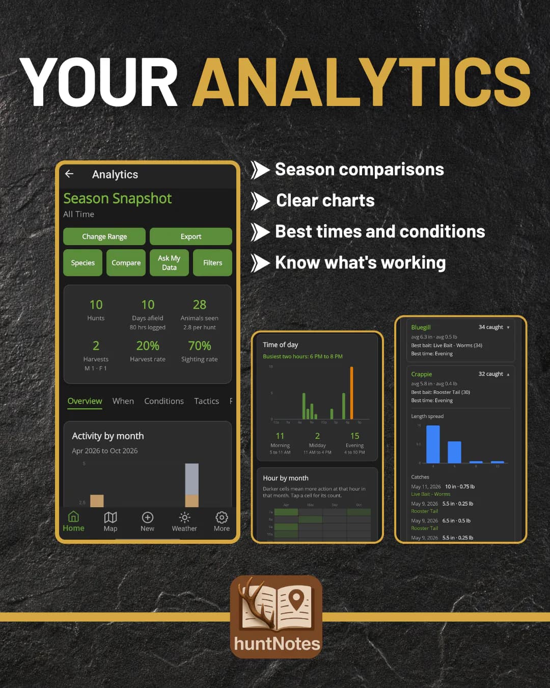
Patterns from your own seasons
Sightings by hour, weather, moon, and stand, compared season over season. Find the conditions behind your best days.
Free shows the summary.
 Premium
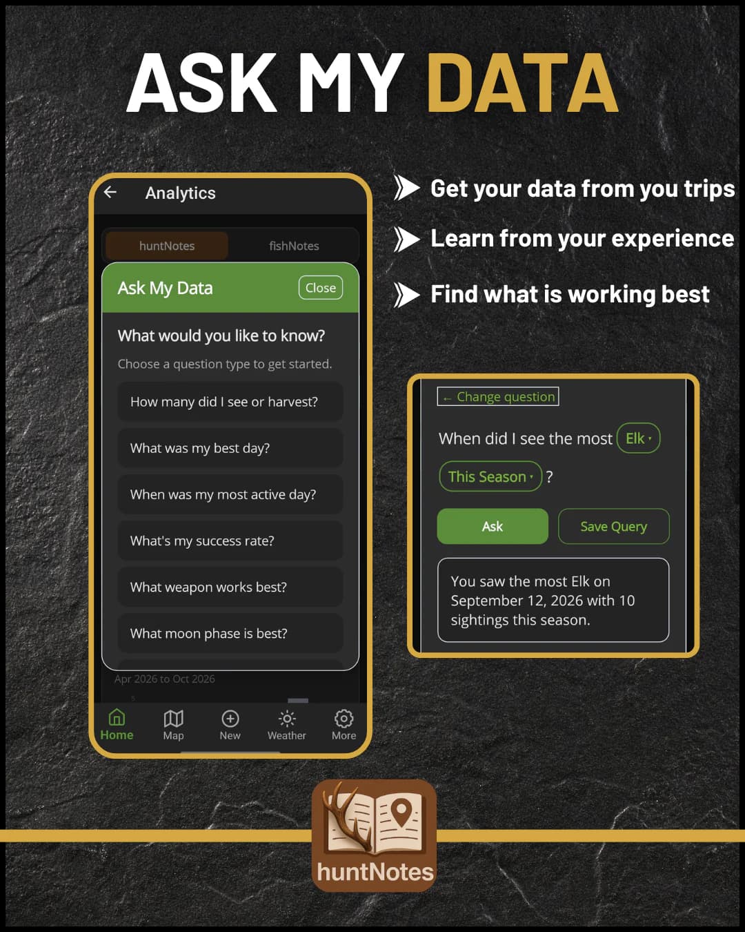
Ask your journal a question
Ask in plain language, like which wind produced the most sightings, and get answers built from your own data, on your phone.
 Free
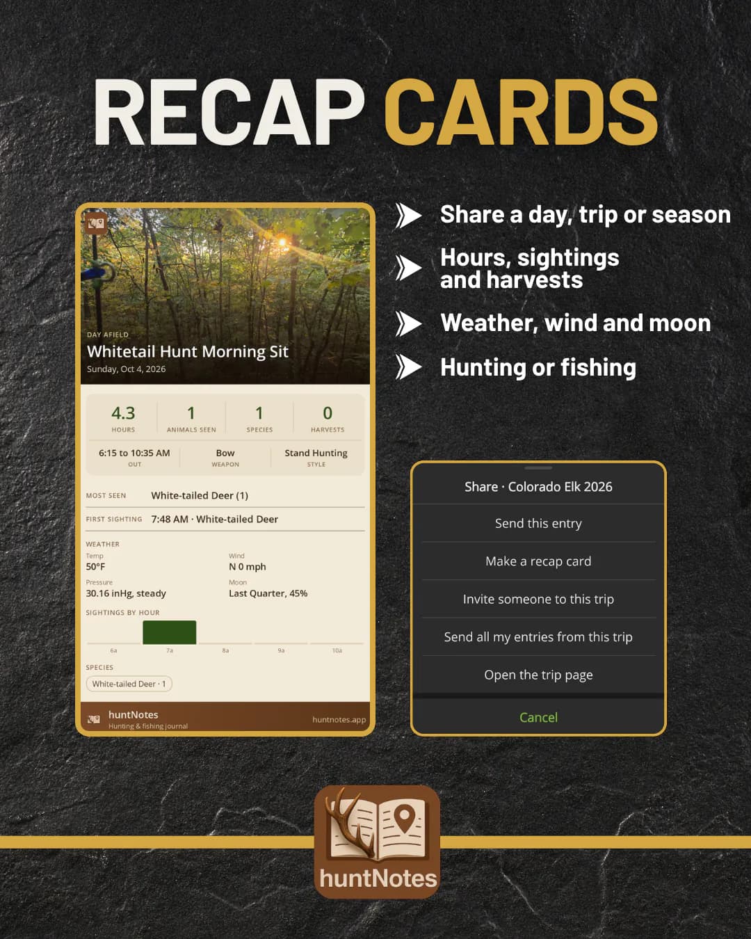
Share the hunt
Turn a hunt or a trip into a card worth posting, with its stats and your photo.
Fishing
Built for anglers too
Switch to fishNotes for the same maps and weather, tuned for the water.
 Free
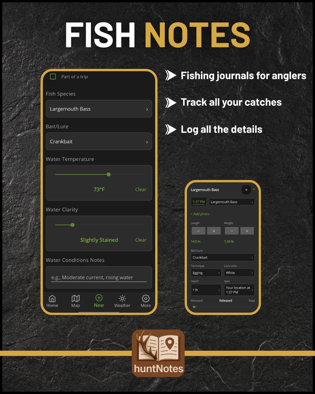
Every catch, logged
Species, length, weight, and bait for each catch, with water temperature and clarity on the session.
 Free
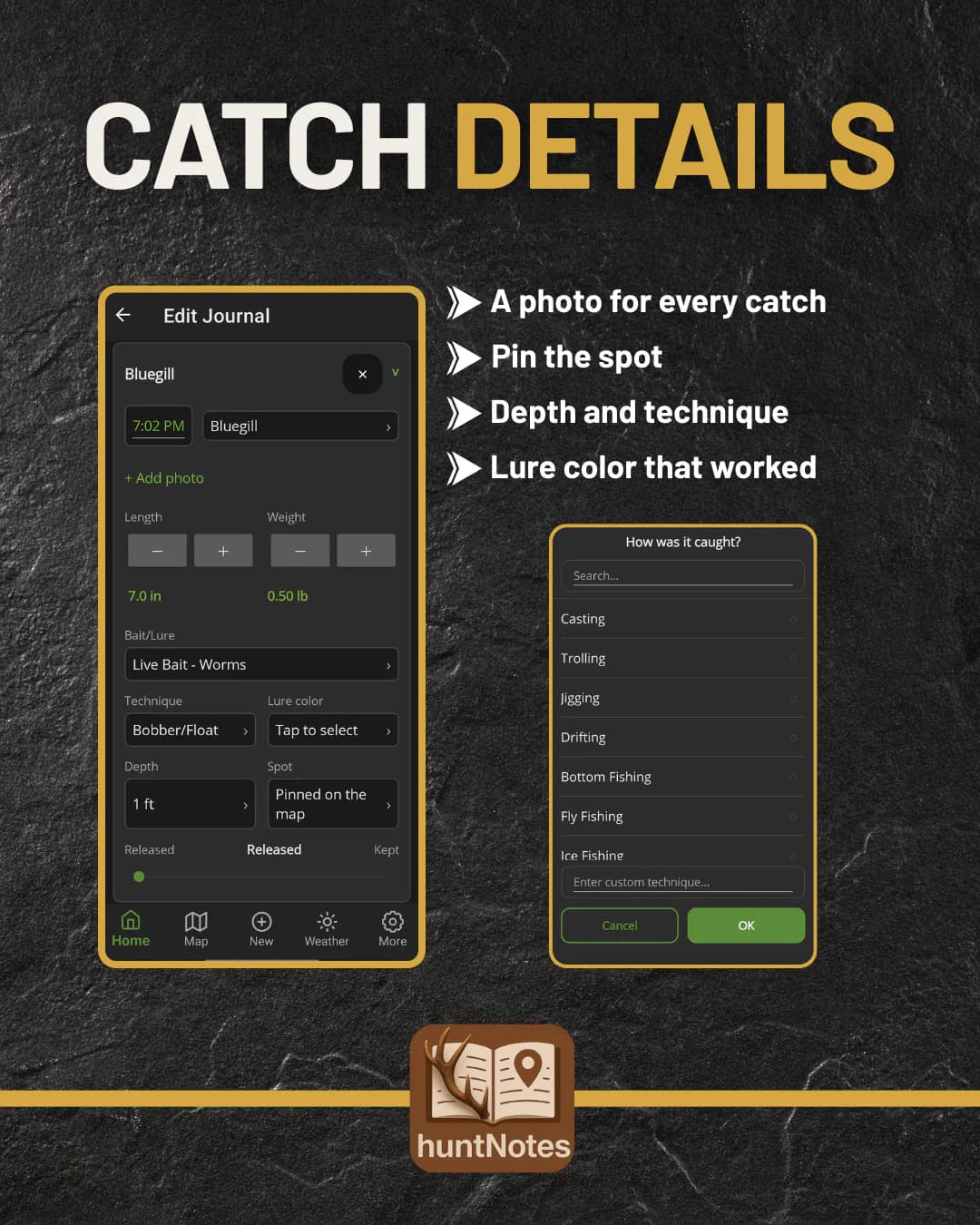
Remember what they hit
Add a photo, pin the spot, and note how deep and how you fished it, so next trip starts where this one worked.
 Free
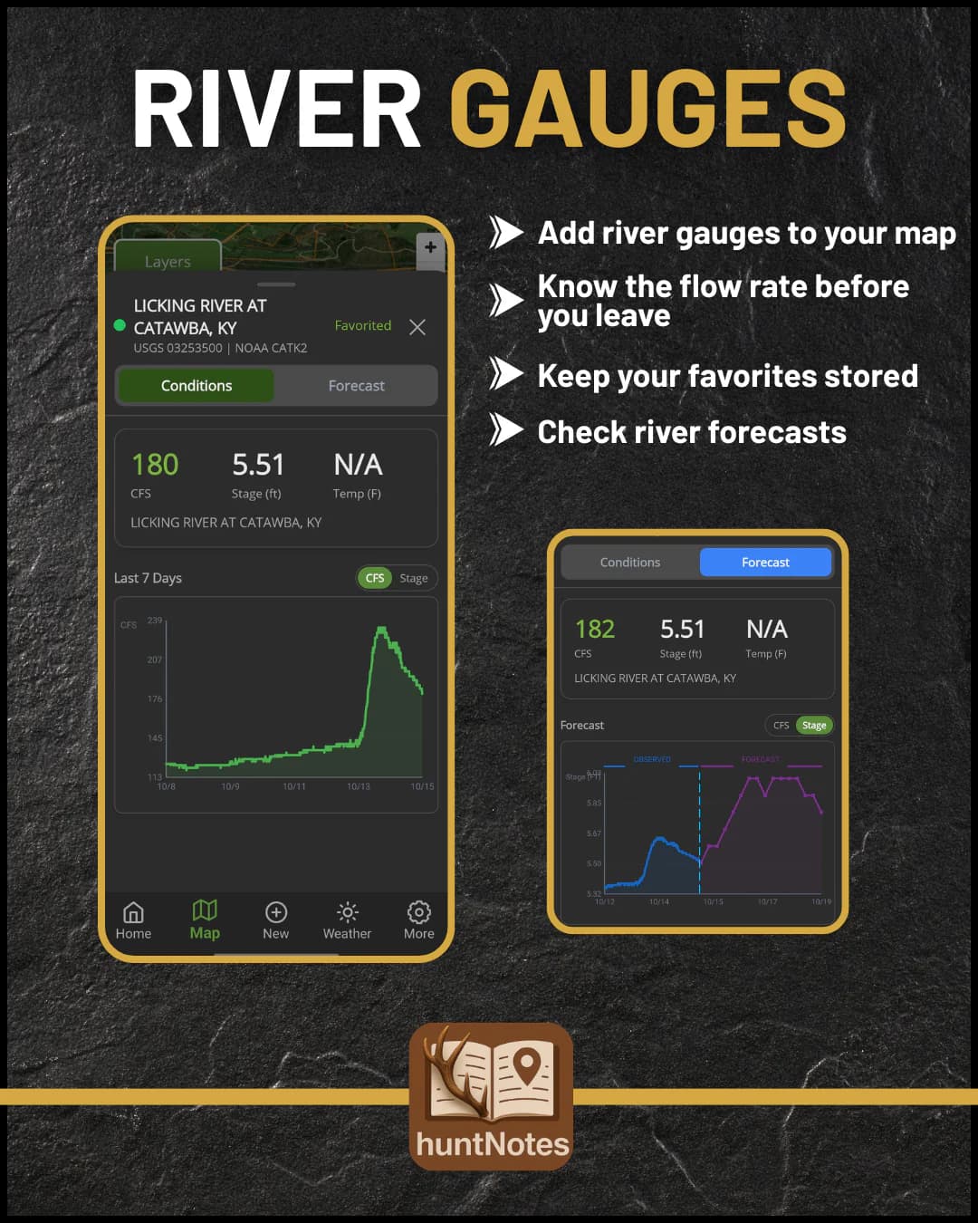
Read the river before you drive
USGS and NOAA gauges with flow, stage, and water temperature, plus NOAA flow forecasts. Set your own ideal range for each one.
Premium saves unlimited gauges and searches 100 miles out.
Your data
Yours, on your phone
No account to make, nothing to sync, and nothing to lose.
No account to make
Everything saves to your phone
Encrypted auto-backup
Restore on any iPhone or Android
FreeNo account, ever
Everything saves to your phone. Encrypted auto-backup keeps a season safe, and a backup restores on any device, iPhone or Android.
 Free
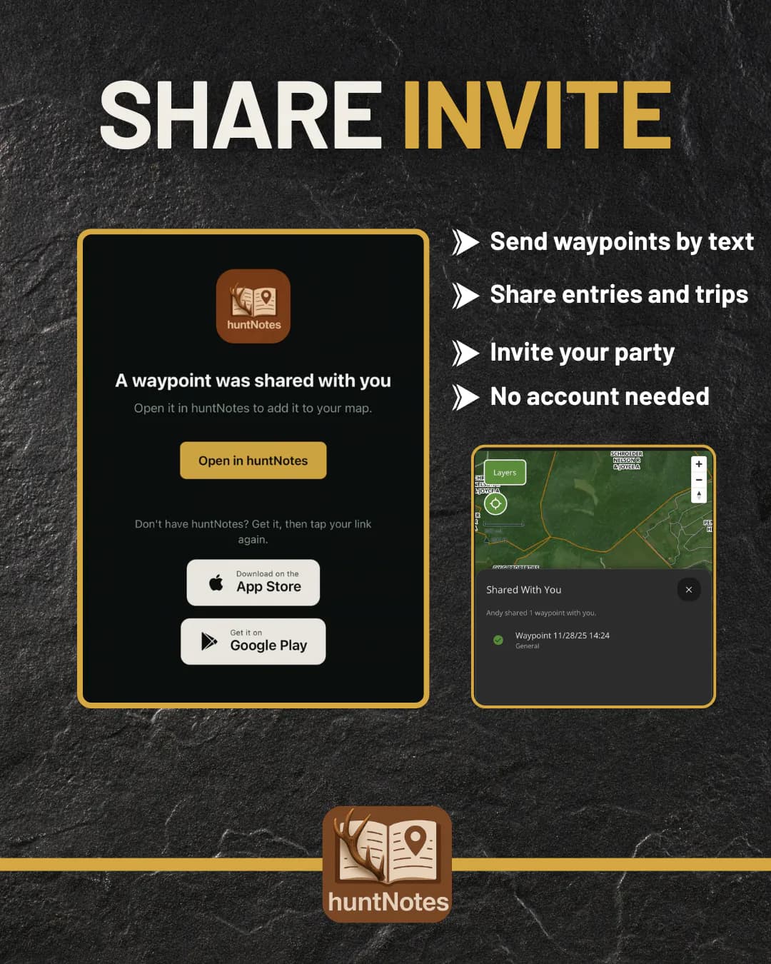
Hunt with your party
Send a spot from the map, share journal entries or a whole trip, or bring your party into one. They can open it on the web, too.
- Free
Bring your maps with you
Move waypoints, tracks, lines, and areas in and out of huntNotes from any other app.
No account to make
Everything saves to your phone
Encrypted auto-backup
Restore on any iPhone or Android
Premium
Go further with Premium.
$4.99/month or $39.99/year. Both start with a 14-day free trial.
- LiDAR terrain
- Full forecasts and Weather Insights
- Every analytics breakdown
- Ask My Data
- Unlimited offline maps
- 3D maps and historic burn scars
The trial starts in the app. Cancel anytime in the App Store or Google Play.
